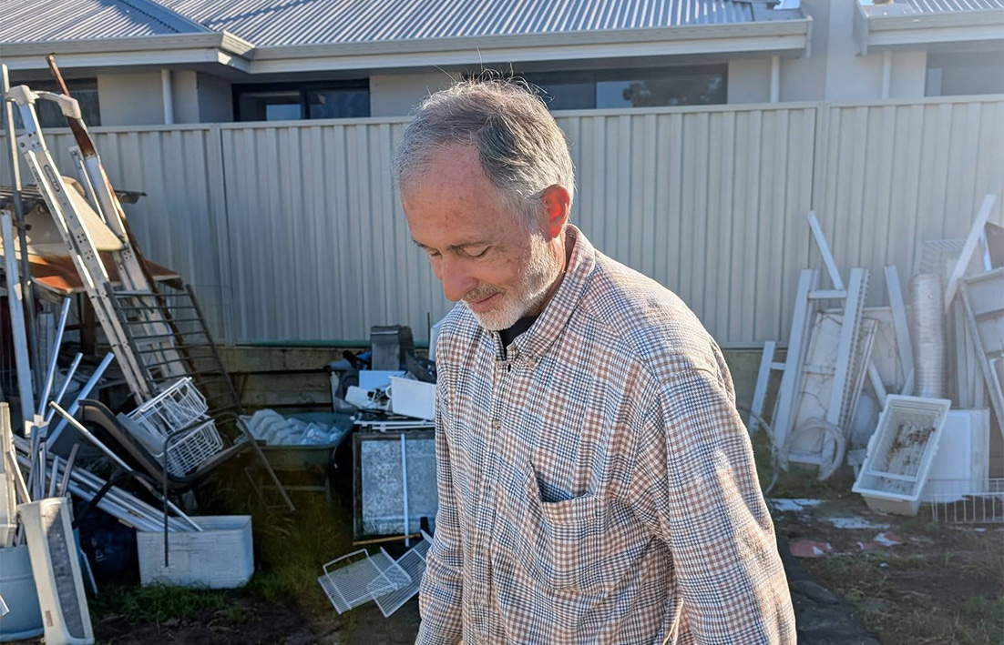
A HENLEY Brook riding coach is concerned that nearby urban development may be contributing to flooding on her property.
Laura Bavin, who has been a Henley Brook resident for 18 years said for the past two years flooding on her property had increased.
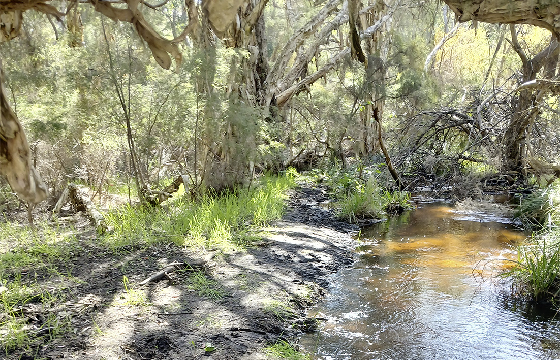
“A waterway runs through my property and the flooding from that has been terrible,’’ she said.
“I want to know if the developers at Brooklands are pumping groundwater into the waterway?
“If so it is too much water for this small stream to contain and the paddocks are saturated.
“But that is not the only potential reason my property is flooding.
“The land fill trucked in may have raised the water table on all parts of my property.
“My cross-country course is currently under water and I am unable to use it.
“I am a horse-riding coach, so this affects me greatly.’’
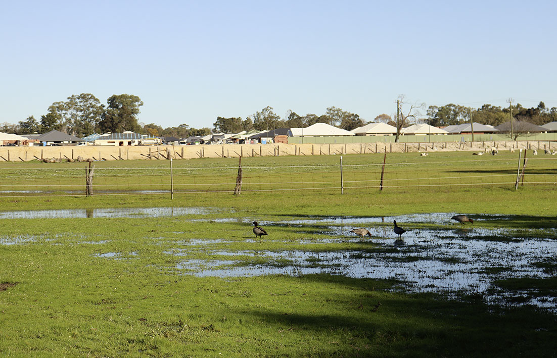
The back of her property borders the proposed Henley Brook Avenue extension and part of the Brooklands private estate.
The Henley Brook local structure plan (LSP) November 2020 (as amended October 2024) applies to land generally bound by Starflower Road to the west, Gnangara Road to the north, Morgan Fields estate and the planned Henley Brook Avenue to the east and Park Street to the south.
A map included in the Henley Brook local structure plan (LSP) November 2020 (as amended October 2024) produced for Progress Developments (on behalf of Little Property WA), said the south-eastern portion of the development site was identified within the 100-year average recurrence interval floodplain of the Swan River.
“This floodplain is associated with St Leonard’s Creek, a tributary of the Swan River to which it joins about 3.5km south-east of the site,’’ the Henley Brook LSP said.
“A foreshore area report prepared to identify an appropriate foreshore protection area found the creek contains limited biophysical values because of historical alterations made to this trapezoidal drain to support agricultural uses.
“As such, the foreshore area has been determined based on maintaining the hydraulic function provided by the floodway and protecting the small patches of flooded gum vegetation associated with the existing drain.
“It should be noted that Department of Water and Environmental Regulation (DWER) mapping does not consistently follow the observed location of the existing drain.
“As such, it is recommended that the alignment and profile of the creek is reviewed as part of any future urban water management plan/s completed over the land.
“The structure plan responds to the surface water values of the site by locating St Leonard’s Creek within a parcel of public open space and through the provision of adequate areas of open space to accommodate water sensitive urban design measures for the detention of minor and major rainfall events.”
The LSP said additional management strategies were set in the local water management strategy discussed in section 4.8 of the report, which said the local water management strategy had been prepared to support and guide future development (appendix 2).
The section on water management said the recommended approach to water management for the structure plan area includes use of water wise gardens at the individual lot level to minimise irrigation rates and use of groundwater, retain small event runoff from lots (i.e. first 15mm of rainfall) on site, with the exception of lots less than 300sqm in area, treat road reserve runoff through water sensitive urban design measures – such as tree pits, bio-pockets, swales, and bio-retention areas and detain minor and major event flows within flood storage areas to maintain pre-development discharge rates.
It also included designing the St Leonards Creek channel to maintain the existing hydrological function, improve water quality outcomes and ecological values, use imported fill and subsoil drains to achieve required separation to groundwater and implement non-structural measures to reduce nutrient loads within stormwater runoff and maintain groundwater quality beneath the site.
Brooklands private estate has been contacted for comment.