IT is impossible to reconcile the Cook Government’s statement about tree canopy data with the situation on the ground in local government areas such as the City of Swan, according to Swan Communities Environmental Alliance.
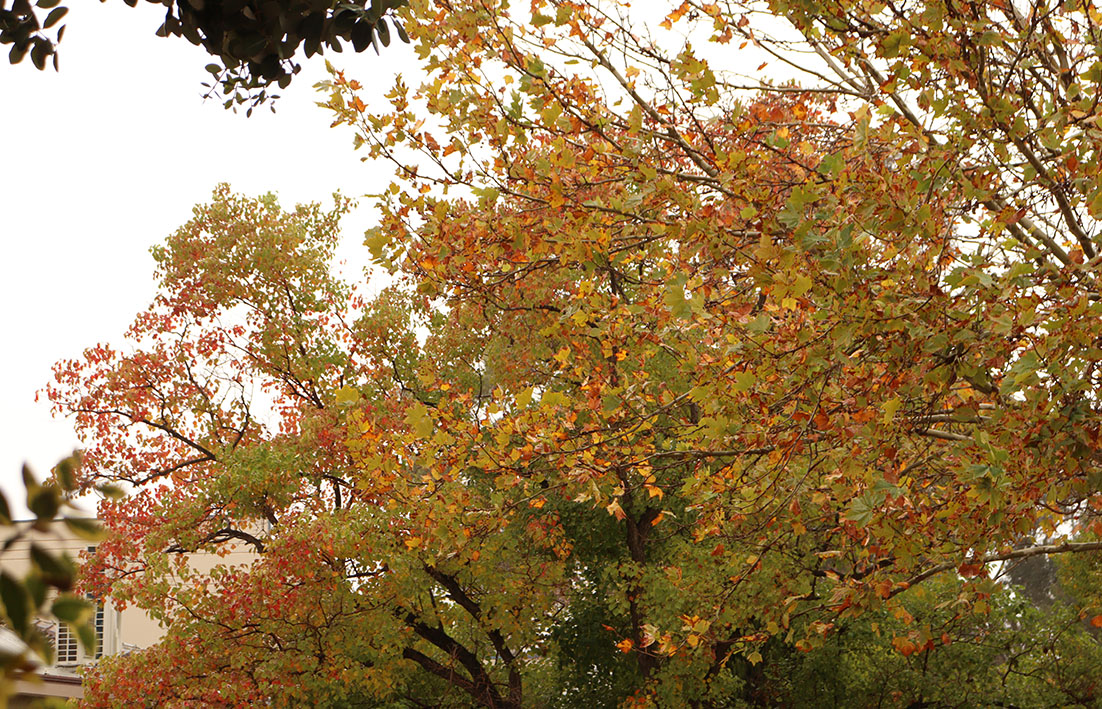
The community organisation was responding to the state government’s announcement that the 2024 tree canopy data for the Perth and Peel regions showed urban canopy was at 22 per cent compared with 21 per cent in 2020.
Swan Communities Environmental Alliance spokeswoman Jan Zeck said greenwashing, no matter how persuasive, would not increase Perth’s tree canopy.
“Only halting further clearing and embarking on a massive planting program will do this,’’ she said.
Ms Zeck said the reality was thousands of trees were regularly bulldozed to provide vast areas for urban development in Perth’s outer councils such as the City of Swan.
“Added to these are further losses in established areas associated with polyphagous shot-hole borer and recent extreme hot, dry summers.
“The result is plummeting, not increasing, tree canopy.’’
The Western Australian Planning Commission’s (WAPC) urban canopy dashboard shows that in 2020 the City of Swan had a total tree canopy of 12 per cent.
Individual suburbs such as Dayton had a tree canopy of 5 per cent, Brabham 10 per cent, West Swan 16 per cent, Whiteman and Henley Brook 18 per cent, Aveley 12 per cent, Ellenbrook 9 per cent, The Vines 20 per cent, Bennett Springs 10 per cent and Upper Swan 8 per cent.
The WAPC dashboard uses spatial data gathered from high resolution aerial imagery through CSIRO’s urban monitor program, which is analysed by the Department of Planning, Lands and Heritage to measure and monitor tree canopy trends across Perth and Peel.
The dashboard said local governments could use the data to track their tree canopies over time.
The 2020 data is made up of the land use categories of parks, roads and street blocks but the 2024 data now includes rural, water and other infrastructure and according to the urban tree canopy dashboard guidance notes the revised methodology also now includes reporting on additional vegetation types such as grass and shrubs less than 3m tall.
In Tree strategy in need of regrowth (The Sunday Times, June 8) Trillion Trees president Paul Barber said including the non-urban categories of rural, water and other infrastructure could inflate the overall figure and obscure the real losses in the canopy where most people lived.
Dr Barber, who has a PhD in biological sciences and forest pathology, said canopy targets, such as the often quoted 30 per cent, sounded impressive but without binding commitments, transparent reporting and regulatory enforcement they were just figures.
Ms Zeck said within the City of Swan an estimated 95,000 trees had already been removed for the Swan growth corridor south of Gnangara Road.
“When urbanisation is complete, in excess of 160,000 trees will have been destroyed in this area alone,’’ she said.
“Tree loss is perpetuated as urbanisation continuously extends into former rural areas on the outer fringe.
“As rural land, these areas had tree canopies ranging from 15 to 25 per cent.
“Post development tree canopy sinks to zero to 5 per cent although it is probably closer to 1 per cent.
“In suburbs like Brabham, few trees have been retained (and) fewer survive the development process.
“Dewatering during construction lowers groundwater levels and rising groundwater post development causes flooding – both result in the death of retained trees.
“This, along with reduced survival rates of new plantings due to insufficient early stage care and extreme summer heat, means new suburbs are almost treeless and even constant replacement planting will not increase tree canopy any time soon.
“Effective canopy, no matter how it is calculated, will never be achieved without the preservation of existing mature trees.”
Note added to story:
AN updated dashboard used to measure and monitor tree canopy trends across Perth and Peel includes new reporting on additional vegetation types such as grass and shrubs less than 3m tall.
But the new reporting on additional vegetation types is separate from and not included in the reporting on tree canopy.
This means the headline Grass and shrubs now being counted in tree canopy data, (Echo News, June 13) was incorrect and has been changed to Grass and shrubs now counted on urban canopy dashboard.
The Department of Planning, Lands and Heritage (DPLH) said the 22 per cent figure reports only on tree canopy, which was classified as vegetation at 3m in height or greater.
“The updated dashboard does include new reporting on additional vegetation types, such as grass and shrubs less than three metres tall – but this is separate from, and not included in, the reporting on tree canopy coverage,’’ a DPLH spokeswoman said.
This clarification was published in the July 11 edition.