Published Echo News April 14, 2023
THE bushfire simulation modelling carried out for the amended North Stoneville structure plan Part 3B has attracted support from the leader of the CSIRO bushfire behaviour and risks team.
Dr Andrew Sullivan told Echo News the company behind the bushfire modelling report had gone to great lengths to make it as bullet-proof as they can.
“The science that they’ve employed to do this is basically the best available for that job and they’ve gone to great lengths to try and ensure that it is as meaningful and applicable as possible to the conditions,’’ he said.
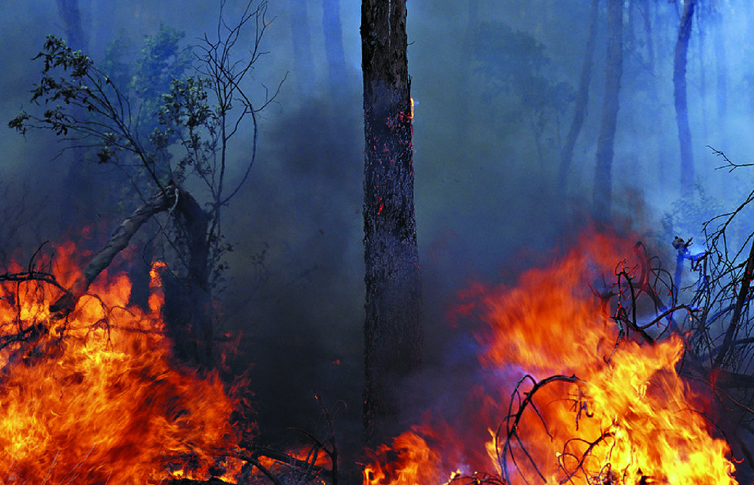
The report by Strategen JBS&G said while the simulated design bushfire scenarios represented the worst credible case bushfires for a 1:50 year weather event, they do represent a “perfect storm” of conditions that while possible, had historically rarely occurred in unison.
“On this basis, we are comfortable that there is sufficient conservatism embedded in the model inputs to ensure that an actual bushfire would be slower and smaller than what is being represented in the simulations over the first four hours, and likely considerably slower and smaller,’’ the report said.
Dr Sullivan said most rural fire agencies in Australia had some role in the planning process so the planning office need to go to the rural fire service to get their opinion on some planning proposals.
“But what they normally have to comment on is not that detailed,’’ he said.
“The amount of effort these people have gone into to do the simulations to consider all of the likely inputs in terms of the weather and fuels and their consideration of both the growth phase and what they call the mature phase of fire spread, the locations of the fires, the prevailing weather and the fact that they’ve bumped up the actual historical weather to be more representative of the increased fire danger index values in the two that they did - that is a lot of work and it’s as comprehensive as I’ve seen.’’
The report’s conservative vegetation values met with his approval.
“They state the forest hasn’t been burnt for 25 years – that is quite considerable, if you look at the average fuel age in the Perth Hills it’s going to be somewhat less than that.”
He gave two reasons for bushfire simulation models using the CSIRO-developed program SPARK and adopting bushfire rate of spread (RoS) models as recommended by the CSIRO publication A Guide to Rate of Fire Spread Models being suitable for modelling bushfires in the Perth Hills.
“(First) the forest model – the one they call VESTA – or the dry eucalypt fire model is intended for use in dry wood forests – all different species of dry eucalypt forest and what’s in the Perth Hills is specifically a dry eucalypt forest.
“The second thing is that the research work that we did to develop that model was actually done in Western Australia in jarrah forest.
“So of all places in the country where the model is applicable in dry eucalypt forest is in jarrah forest in Western Australia.’’
On March 28 Save Perth Hills (SPH) said Satterley had failed the bushfire prone Perth Hills’ community again by presenting an inferior ‘amended North Stoneville plan’ featuring unrealistic bushfire evacuation models, a development that requires unacceptable levels of environmental destruction and creates local traffic impacts of at least 8000 extra traffic movements on surrounding rural roads, every day.